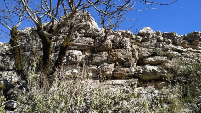
KALAJA ILIRE, FSHATI KALA
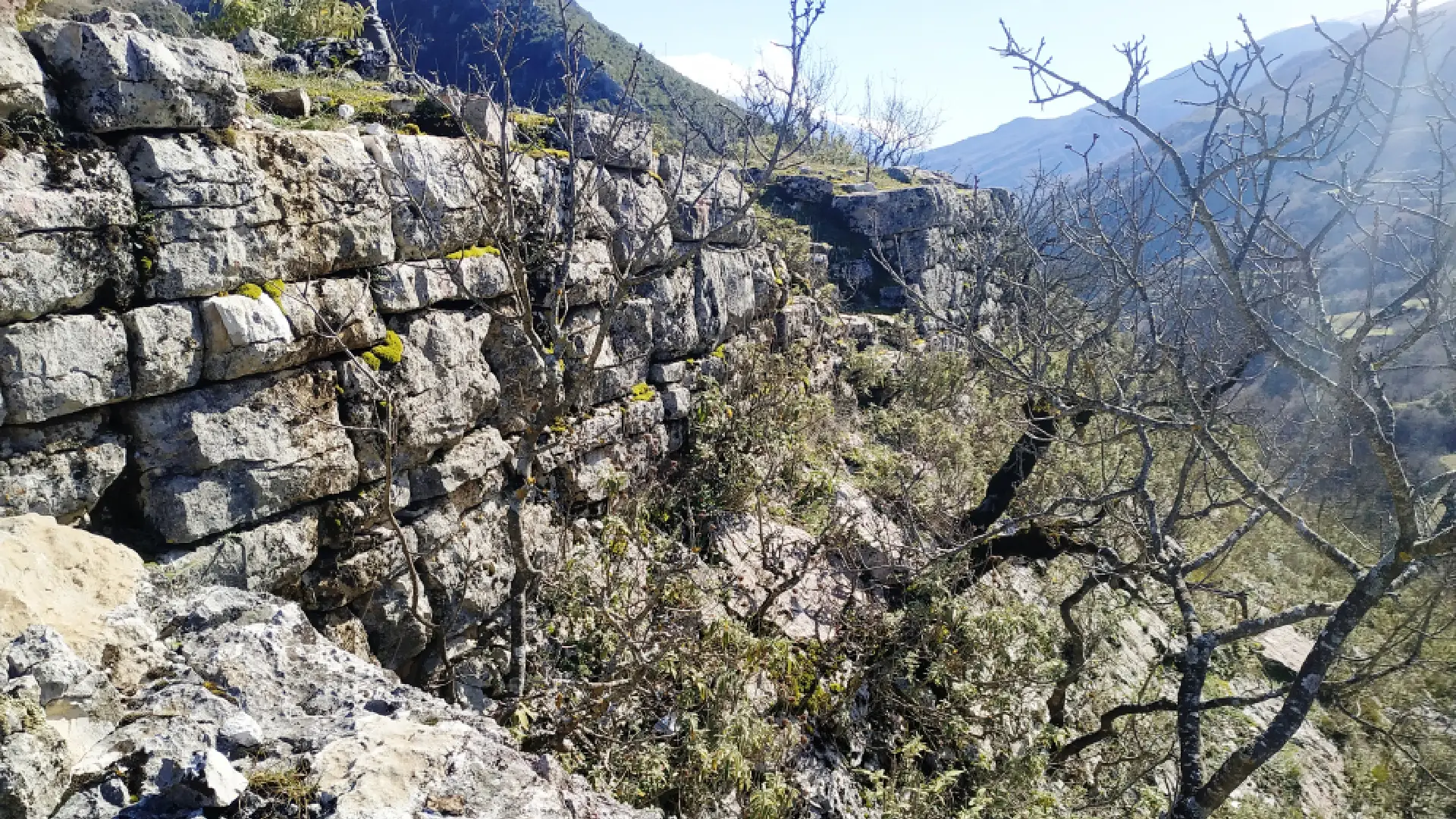
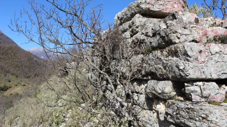
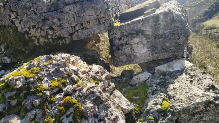
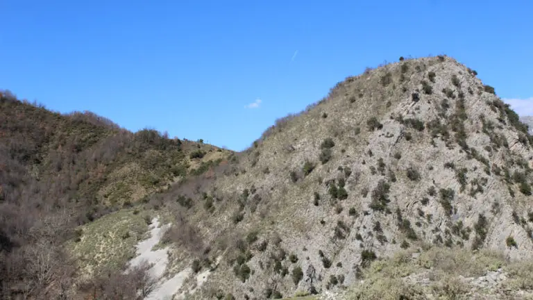
The Illyrian Castle, covering an area of 0.38 hectares, is located near the village of Kala, on a hill overlooking the left bank of the Zagoria River, where the ruins of an ancient Illyrian fortress are still preserved. The surrounding wall, 2.5 meters thick, was built with carefully cut quadrangular stone blocks arranged in an isodomic pattern and is preserved in some sections to a height of 2–2.5 meters. On the western side, the wall includes a tower with a front width of 5.35 meters, projecting approximately 8.5 meters outward. The interior of the tower communicates with the fortress through a 1.2-meter-wide doorway, while the fortress’s only entrance, 1.4 meters wide, is located at the southern end of the same wall.
A second wall divides the fortress into two sections: the upper area (the acropolis) and the lower area, which are connected by a passageway. The massive fortification walls, constructed with finely dressed or slightly convex stone blocks and regular joints, some measuring up to 2 meters long, 1.25 meters wide, and 0.44 meters high, date the fortress to the Illyrian urban period of the 4th–3rd centuries BC. Archaeologists classify it among the Illyrian urban settlements that were likely destroyed during the Roman conquest in 168 BC. The fortress was part of the defensive system of the Këlcyrë Gorge and played an important role in controlling the caravans that passed through this strategic route.
Location
Gallery

Related Attractions
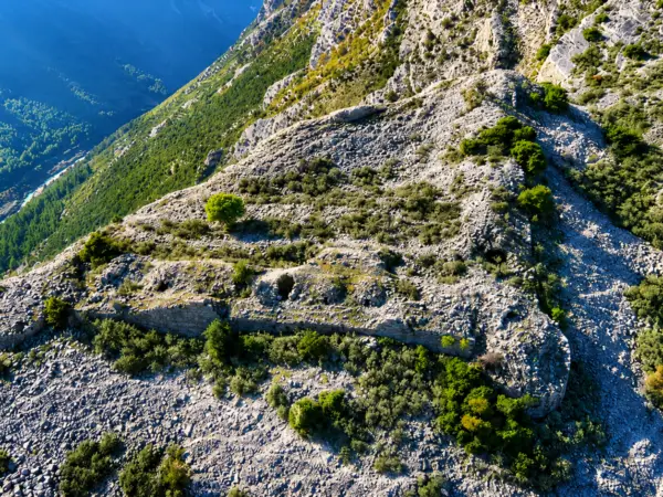
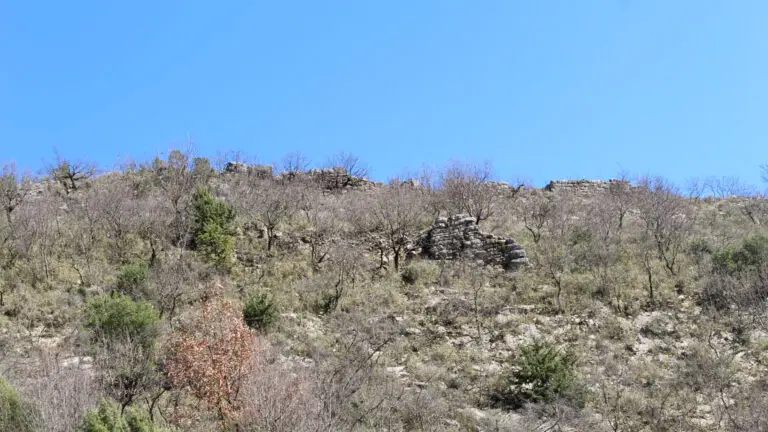
ILIRE CASTLE – KELCYRE
The Këlcyrë Castle is a historic fortress on the slopes of Mount Trebeshina, with origins dating back to ancient times and several construction phases over the centuries. It offers impressive views of the Këlcyrë Gorge and the Vjosa Valley, and represents an important cultural monument with strong tourism potential.
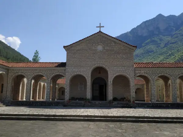
SAINT NICOLAS CHURCH – KËLCYRË
Saint Nicholas Church, located in the Këlcyrë Gorge, 2 km from Këlcyrë town, Saint Nicholas Church is one of the area's most important Orthodox religious sites.
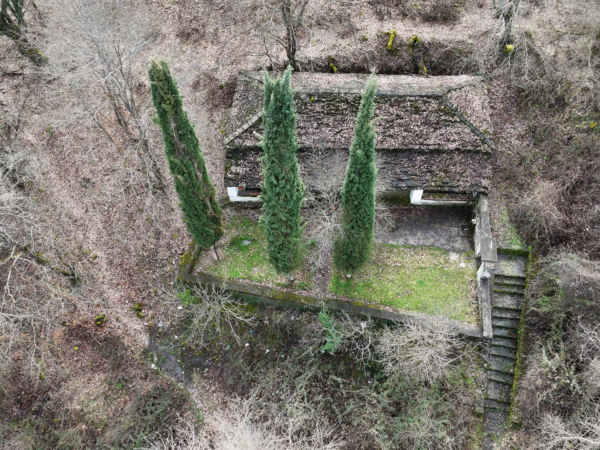
CHURCH OF QELOVA
**Church of Qelova** is a historic religious site that survived the communist period in Albania but is now largely neglected. Located near Mount Dhëmbel, about 30 minutes from the national road, it has strong potential as a tourist attraction.